8.3 km | 10.6 km-effort
Le Stratégique
SityTrail - itinéraires balisés pédestres
Tous les sentiers balisés d’Europe GUIDE+
Length
3.9 km
Max alt
1202 m
Uphill gradient
152 m
Km-Effort
5.6 km
Min alt
1077 m
Downhill gradient
57 m
Boucle
No
Signpost
Creation date :
2022-02-17 11:11:05.419
Updated on :
2022-03-03 23:49:50.368
1h16
Difficulty : Easy
FREE GPS app for hiking
About
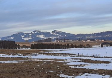
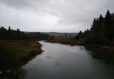
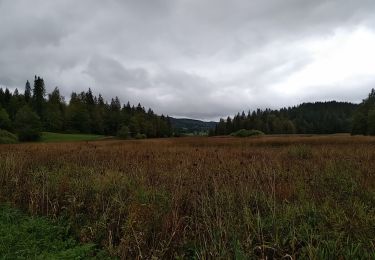
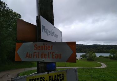
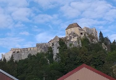
Trail On foot of 3.9 km to be discovered at Bourgogne-Franche-Comté, Doubs, Les Fourgs. This trail is proposed by SityTrail - itinéraires balisés pédestres.
Positioning
Country:
France
Region :
Bourgogne-Franche-Comté
Department/Province :
Doubs
Municipality :
Les Fourgs
Location:
Unknown
Start:(Dec)
Start:(UTM)
301413 ; 5191245 (32T) N.
Comments
Trails nearby
Le Stratégique - Doubs
Walking
Medium
(1)
Les Fourgs,
Bourgogne-Franche-Comté,
Doubs,
France
2h 45min
Yes
2024-01-31_00h34m12_le-belvedere-de-la-roche-sarrasine_randonnee-2285212
Walking
Difficult
(1)
Les Fourgs,
Bourgogne-Franche-Comté,
Doubs,
France
12.4 km | 17 km-effort
3h 51min
Yes
Piste du Voirnon
Cross-country skiing
Easy
Les Fourgs,
Bourgogne-Franche-Comté,
Doubs,
France
11.8 km | 15.2 km-effort
3h 39min
Yes
Le Sentier des Bornes
On foot
Easy
Les Fourgs,
Bourgogne-Franche-Comté,
Doubs,
France
6.4 km | 8 km-effort
1h 48min
No
Chaon Saint Point - Lac
Walking
Easy
(1)
Montperreux,
Bourgogne-Franche-Comté,
Doubs,
France
15.1 km | 19.4 km-effort
3h 5min
Yes
Sentier de la découverte - Chaon Malbuisson
Walking
Easy
Montperreux,
Bourgogne-Franche-Comté,
Doubs,
France
9.8 km | 12.3 km-effort
2h 12min
Yes
La Gouille
Walking
Easy
Montperreux,
Bourgogne-Franche-Comté,
Doubs,
France
8 km | 10.1 km-effort
1h 53min
Yes
La source bleue
Walking
Easy
Montperreux,
Bourgogne-Franche-Comté,
Doubs,
France
9.8 km | 13.4 km-effort
2h 13min
Yes
le grand taureau, la Cluse et Mijoux
Walking
Medium
La Cluse-et-Mijoux,
Bourgogne-Franche-Comté,
Doubs,
France
24 km | 34 km-effort
5h 26min
Yes